- Aerial Mapping
- Drone Mapping
- Orthomosaic Mapping
- Point Clouds
- DTM With Contours
- Planimetric
- 3D Point Cloud
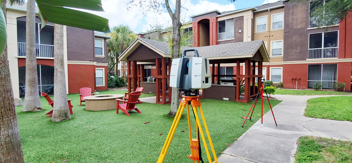
- Scanning
Leading Edge Land Services, Inc., is a professional Surveying and Mapping company serving Florida, specializing in all aspects of surveying for control, boundary, topographic, construction and design surveys, laser scanning, and drone mapping.
For over 20 years Leading Edge Land Services, Inc. has been providing quality land and construction surveying services to a variety of clients in Florida. Our highly-skilled team of professionals brings years of experience to each project. We are a full-service firm committed to using the most current technology available to complete each project in a cost effective and timely manner. Our top-of-the-line equipment includes a Leica BLK 360 Scanner, a Faro S350 Scanner, an Aibotix X6 drone, Leica GPS and robotic total stations.


